
New FEMA Flood Maps Hit Tomorrow — Over 3,400 Oʻahu Properties Now in Flood Zones for the First Time
Starting tomorrow, thousands of Oʻahu homeowners will wake up to a new reality: mandatory flood insurance requirements that could cost them nearly $900 annually. The Federal Emergency Management Agency’s updated Flood Insurance Rate Maps take effect June 10, placing more than 3,400 properties into flood zones for the first time.
The sweeping changes affect nearly 100 miles of streams across the island, from urban Honolulu watersheds to rural North Shore communities. Property owners in the newly designated Special Flood Hazard Areas face a 45-day deadline to secure coverage or risk having flood insurance force-placed by their mortgage lenders at potentially higher rates.
“This is the most significant flood zone expansion we’ve seen on Oʻahu in decades,” said Jennifer Nakamura, a spokesperson for the Hawaii Association of Realtors. “Homeowners need to act quickly to understand their options and avoid the financial shock of force-placed coverage.”
Neighborhood-by-Neighborhood Impact
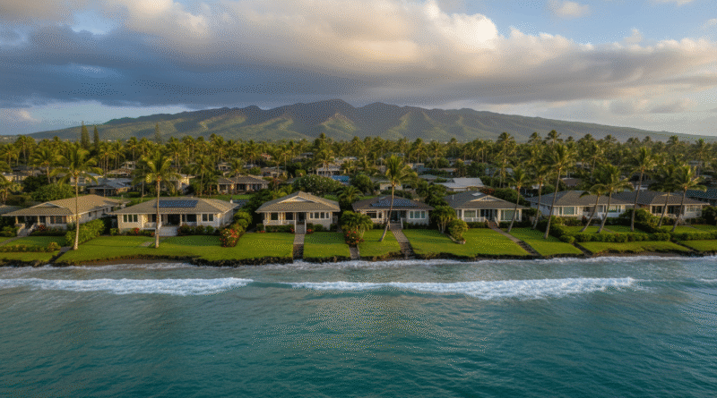
The hardest-hit areas span from East Honolulu to the North Shore. In Hawaii Kai, properties near Kuapa Stream and Koko Marina are among those newly designated as high-risk flood zones. Kailua residents along Kawainui and Kaelepulu streams also face new requirements, as do homeowners in Kaneohe near Kaneohe Stream.
On the North Shore, the expansion affects properties along the Anahulu River in Haleiwa and areas near Waimea River. Even some inland neighborhoods previously considered safe, including parts of Mililani and Pearl City near stream corridors, now fall within mandatory flood insurance zones.
The new maps reflect improved flood modeling technology and account for climate change impacts, including increased rainfall intensity and sea-level rise projections. FEMA’s updated analysis identified flood risks that weren’t captured in the previous maps, some dating back to the 1980s.
The Financial Reality
Homeowners with federally backed mortgages in the newly designated zones must purchase flood insurance, with average annual premiums around $868. However, costs can vary significantly based on a property’s specific flood risk level and the chosen coverage amount.
The 45-day compliance window starts ticking for existing mortgage holders once lenders receive notification of the zone changes. New home purchases in these areas require flood insurance before closing.
Property owners who act quickly may qualify for Preferred Risk Policy rates, potentially reducing costs by hundreds of dollars annually compared to standard flood insurance. These policies are available for properties in moderate-to-low risk areas and newly mapped zones.
Beyond the Mandate
Even properties outside the new mandatory zones face increased flood risks. The updated maps also identify thousands of additional homes in “moderate risk” areas, where flood insurance remains optional but recommended.
Recent flooding events across Oʻahu have demonstrated that significant water damage can occur outside designated flood zones. Last year’s heavy rains caused extensive damage in Kalihi and parts of town that weren’t previously considered high-risk areas.
Real estate professionals are scrambling to update property listings and inform clients about the changes. The new requirements could affect property values and closing timelines, particularly for homes hitting the market in the coming months.
Taking Action
Homeowners can check their property’s new flood zone designation using FEMA’s online Flood Map Service Center or by visiting the city’s resilientoahu.org website. The site provides detailed maps showing exactly which properties are affected and offers guidance on next steps.
Insurance agents report increased demand for flood coverage consultations, with wait times stretching beyond normal as property owners rush to understand their options. The National Flood Insurance Program offers most coverage, though private flood insurance has become increasingly available in Hawaii.
Property owners should also consider that federal disaster assistance is typically limited to loans rather than grants, making flood insurance a more reliable financial protection strategy.
The updated flood maps represent the first major revision to Oʻahu’s flood zones in over a decade. As climate change continues to intensify weather patterns and sea levels rise, these changes likely signal more frequent updates to come.
For thousands of island families, tomorrow marks the beginning of a new chapter in homeownership — one that includes factoring flood risk into their monthly budgets and long-term housing decisions. With the 45-day clock starting to tick, the time for preparation has essentially run out.